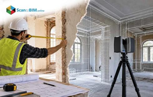
Construction teams lose time and money every time an existing building's drawings do not match reality. Walls shift over decades, columns lean and floor levels change by inches across a single room. Contractors, surveyors, facility managers, and design teams across the AEC industry face this on almost every renovation or retrofit project. When project teams work from outdated or estimated data, clashes show up on site instead of on screen, and that costs real money in rework and schedule delays.
Laser scanning services close this gap by capturing millions of accurate data points in hours, recording every curve, angle, and irregularity in a structure exactly as it exists today. Complex geometry is where this accuracy matters most, and that is the conversation worth having.
What Is a Laser Measurement Survey?
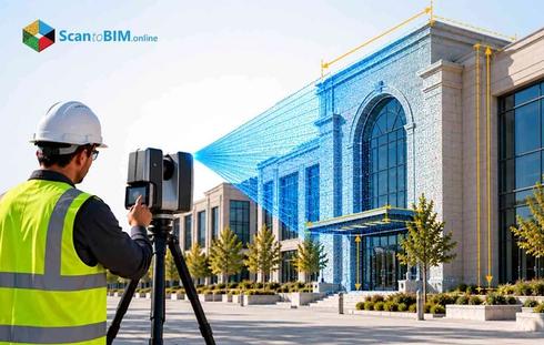
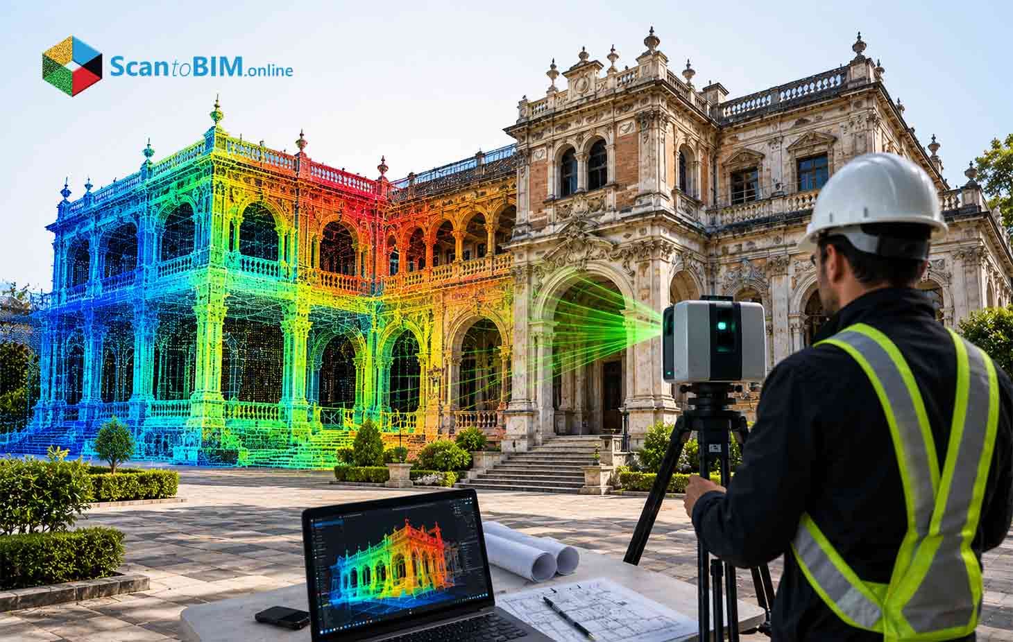
A laser measurement survey uses a scanner to record millions of coordinate points across every visible surface of a building. Each point carries an exact X, Y and Z position, captured through pulsed or phase-shift laser technology.
Here's what happens during that process:
- The scanner sends a laser pulse or continuous wave toward a surface
- The sensor reads the time delay or phase shift of the returning signal
- That reading converts into a precise distance and 3D coordinate
- Millions of these coordinates combine into a single dataset called a point cloud
Unlike a handful of manual measurements, a point cloud carries no gaps caused by field judgment. It records the wall exactly where the wall stands and the beam exactly where the beam sags.
Surveyors then use this dataset as the foundation for a 3D building survey, structural analysis, and design coordination across the whole project team. Firms marketing this work as laser surveying services combine scanning hardware with registration expertise, not just raw data collection.
Why Complex Building Geometry Is Difficult to Capture
Simple structures with square rooms and consistent floor plates are straightforward to measure with conventional tools. Complex buildings do not follow that pattern. Historic structures settle unevenly over decades. Industrial plants pack pipework into every available inch of space. Modern facades curve in ways a tape measure cannot record. Surveyors using manual tools have to interpret these irregularities, and interpretation introduces error.
A few examples make this clear:
- Curved facades and free-form roofs that change angle every few meters
- Multi-level mechanical rooms with overlapping pipework and ductwork
- Historic buildings with no reliable original drawings to reference
Tight or hazardous spaces that limit physical access for a surveyor
These conditions show up on the kind of large, irregular assets that make scan to BIM for complex infrastructure work so demanding, where one missed measurement can cascade into a costly design clash. According to a NIST study on interoperability in the capital facilities industry, inaccurate and poorly exchanged project data costs the US industry close to 15.8 billion dollars every year. Complex geometry is one of the biggest contributors to that number, because small measurement errors compound across a large structure.
This is exactly the gap laser measurement surveys were designed to close.
How Laser Measurement Surveys Capture Complex Geometry
Laser scanners solve this by treating every surface as a continuous field of data instead of a set of isolated points. Two scanning principles make this possible.
- Time-of-Flight scanners send a pulse of light and measure how long it takes to return, which suits large facades, bridges, and long civil structures.
- Phase-Shift scanners send a continuous modulated wave and read the phase difference between outgoing and returning light, giving very high point density for tight interiors and mechanical rooms.
Field teams frequently combine static tripod setups with mobile SLAM systems worn as backpacks or mounted on carts. A static scanner locked to a survey control network holds accuracy across large sites. A mobile system moves through corridors and stairwells to fill in coverage faster. This hybrid approach is common on 3D laser measurement projects where a facility mixes open floor plates with dense mechanical zones.
Bridges, tunnels, and curved civil structures push this same approach further. Engineers sample cross-sectional profiles along a bridge deck's curve. Then they loft those profiles along the extracted centerline to rebuild camber and super elevation accurately. Scan to BIM for complex infrastructure depends on this kind of dense, alignment-based capture, since a standard orthogonal model cannot represent a continuously curving deck or an ovalized tunnel liner.
Once captured, this raw data becomes the point cloud that feeds every model, drawing, and coordination file built afterward.
Key Benefits of Laser Measurement Surveys
3D laser measurement technology keeps advancing, and its benefits show up across the entire building lifecycle, not only during the survey itself.
- Millimeter-level accuracy: Professional-grade scanners hold accuracy within 1mm to 3mm at typical working ranges, far tighter than tape-based methods.
- Faster field time: A facility that once needed a survey crew several weeks to measure by hand can now be scanned in one to two days.
- Fewer site revisits: The scanner records the full field of view so teams pull missing dimensions from the point cloud later instead of returning to the building.
- Safer data collection: Scanners record from a stable position, cutting the need for scaffolding, ladders, or contact with hazardous surfaces.
- Reduced rework: Resolving spatial clashes against accurate point cloud data before fabrication has cut MEP rework costs from a typical 5% to 12% of project budgets down to below 2%, based on industry data on mechanical retrofit projects.
- Lifecycle documentation: As-built survey services give facility teams a permanent record they can return to for renovations, audits, and compliance checks years later.
A 3D building survey delivered this way becomes a digital record the whole project team can trust, long after the scan crew has left site. Firms offering laser scanning services build these advantages into every deliverable, whether the output feeds a renovation drawing or a forensic engineering report.
Laser Measurement Surveys for Scan to BIM
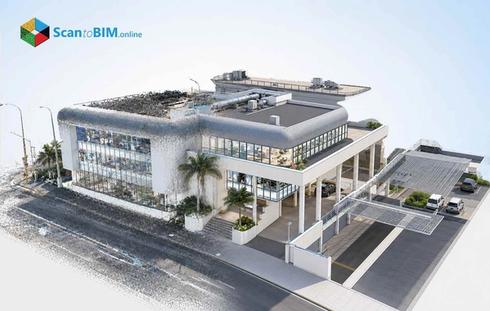
Scan to BIM is where these benefits become most visible for design and engineering teams. The process converts a classified point cloud into an intelligent model made of walls, slabs, columns, and MEP components, each carrying real dimensions and material data.
Modelers apply a method called controlled abstraction:
- Minor deviations within agreed tolerance get simplified into a straight parametric wall.
- Significant deformation like a facade bowing outward from historical settlement gets modeled true to its actual shape.
This balance keeps the model usable in Revit or Archicad without hiding real structural risk.
Point cloud to BIM workflows for surveyors increasingly rely on automated primitive fitting to speed up this stage. Algorithms detect planes, cylinders and pipe runs directly from the scan data, cutting down the manual tracing that used to dominate early BIM production. The U.S. Institute of Building Documentationformalizes how accurate this process needs to be through its Level of Accuracy framework, separating the precision of the captured point cloud from the precision of the finished model.
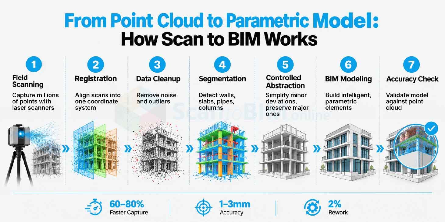
For firms handling historic buildings or industrial retrofits, laser scan to BIM output becomes the single reference that structural engineers, architects, and contractors coordinate against. Everyone works from the same measured reality instead of separate assumptions.
Laser Measurement Surveys for Scan to CAD
Not every project needs a full BIM model. Renovation drawings, planning submissions, and lease plans frequently call for accurate 2D CAD documentation instead. Scan to CAD workflows extract deliverables directly from the same point cloud used for BIM:
- Floor plans sliced at set heights through the point cloud
- Elevations traced from wall faces and openings
- Sections cut wherever the project needs them
- Drawings scaled to the client's required format, without building out parametric objects
In the UK, the RICS, Royal Institution of Chartered Surveyorssets accuracy bands for this kind of work, ranging from tight engineering tolerances for structural interfaces to broader bands for site-wide planning drawings.
The underlying data comes from a building measurement survey rather than field sketches therefore, these drawings carry the same dimensional confidence as a full BIM deliverable. An existing building survey delivered purely as CAD still needs to meet the same accuracy expectations as a full model. Firms save cost on projects where a detailed 3D model isn't justified, while keeping the option to build a model later from the original scan data without sending a crew back to the building.
Traditional Measurement vs. Laser Measurement Surveys
Whether a project needs BIM or CAD, the underlying capture method still matters most. Adopting laser surveying services changes the economics of a project, not only its accuracy. Traditional methods and laser-based capture solve the same problem with very different levels of completeness. A tape measure, plumb bob, or handheld distance meter records what the technician chooses to measure, so anything missed in the field is simply absent from the drawings.
| Parameter | Manual Measurement | Laser Scan Survey |
|---|---|---|
| Coverage | Captures isolated points through manual measurements. | Captures continuous surface data across the entire line of sight. |
| Speed | Crews might cover 200–400 sq. m per day. | Crews frequently cover 2,000–5,000 sq. m per day. |
| Accuracy | Cumulative human error can range from 5–25 mm. | Static scanners can achieve 1–3 mm instrument-grade accuracy. |
| Non-Orthogonal Capture | Assumes straight walls and square corners. | Records the true tilt, bow, or curve of the structure. |
| Revisits | Missed dimensions can require a second site visit. | Teams can extract new measurements from the point cloud months later. |
This gap becomes critical in scan to BIM for complex infrastructure work, where curved bridge decks and tunnel liners cannot be approximated with straight-line assumptions. For projects where geometry actually matters, completeness is not a luxury. It is the real cost saver.
But laser scanning is not free of its own challenges. Firms adopting it for the first time run into a few common obstacles.
Common Challenges and How to Overcome Them
This cost advantage doesn't mean laser scanning is a flawless process. Firms delivering laser scan to BIM projects need to manage a few recurring issues proactively.
Reflective and glass surfaces
Laser beams pass through glass or bounce off mirrored panels. This creates false points beyond the real building line. Technicians filter these using return intensity data and cross check against site photographs.
Occlusions from furniture or equipment
Fixed obstacles block the line of sight of scanners and leave gaps in the cloud. Surveyors resolve this with additional scan positions or mobile SLAM passes through tight spaces.
Edge noise at sharp corners
Beams that straddle an edge blend two surfaces into one false point. Modelers correct this by intersecting two clean, adjacent planes instead of tracing the noisy edge directly.
Registration drift across large sites
Without ground control, scan positions can drift out of alignment over long corridors. Anchoring scans to a total station traverse keeps the whole dataset locked to one accurate coordinate system.
Data volume
A single project can generate hundreds of millions of points. Filtering, indexing, and downsampling this dataset keeps processing manageable without losing geometric detail.
A laser scan survey delivered without this kind of filtering can carry hidden noise straight into the final model, so quality control matters as much as the scan itself.
Conclusion
Once these challenges are managed with the right quality control, complex building geometry no longer needs to be a guessing game. Laser measurement surveys give architects, engineers, and contractors a documented record of what actually exists on site, curves, tilts, sags, and all. Firms that pair this data with disciplined processing and clear tolerance standards protect their budgets before design starts, not after fabrication fails to fit. When Notre-Dame Cathedral suffered fire damage in 2019, the point cloud captured years earlier by architectural historian Andrew Tallon, covering more than a billion coordinates at roughly 5mm precision, became a primary reference for reconstructing the collapsed vaults, according to Leica Geosystems.
Point cloud to BIM for surveyors' work keeps getting faster as automated segmentation and primitive fitting improve, cutting down the manual tracing that once slowed early BIM production.
Whether the final deliverable is a full scan to BIM model, a set of CAD drawings, or a point cloud kept for structural monitoring, the accuracy carries through every downstream decision. Teams that build this into their standard process now will spend far less time correcting mistakes on site later.