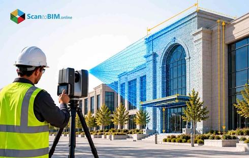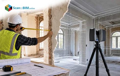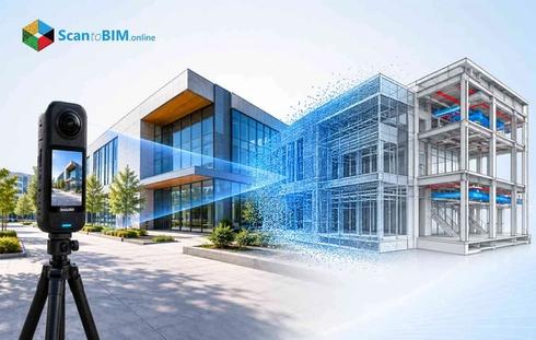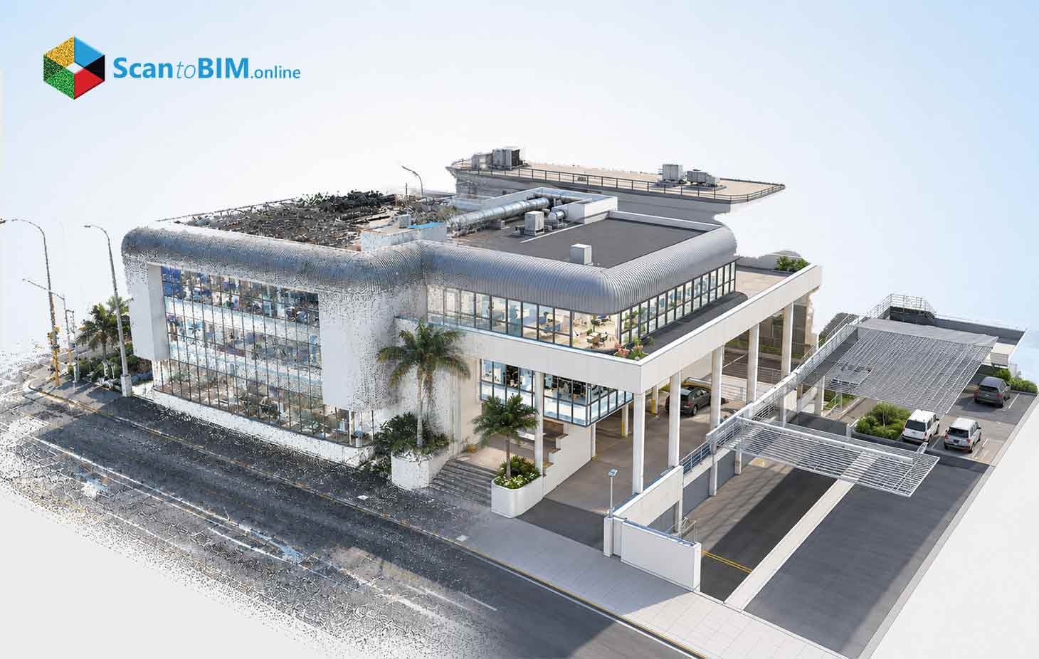
Every renovation team has opened old as-built drawings and found a missing wall or an undocumented duct. Commercial buildings go through many rounds of remodeling, handled by different contractors over different years. Paperwork almost never keeps pace with reality. Architects and engineers end up designing around assumptions. Then they find the real conditions once demolition starts. That gap between drawings and reality is where laser scanning services earn their place in a renovation project.
Field crews use scanners to measure physical conditions directly, down to a few millimeters. That accuracy holds regardless of how many times a floor got remodeled. The resulting data becomes usable spatial information for design and construction teams. Reality capture services give architects, engineers, and contractors one shared, measured starting point. For firms planning commercial renovation work across the US, that starting point changes how projects get scoped and built.
Why Commercial Buildings Are Challenging to Renovate
Before looking at scanning itself, it helps to see why commercial renovation creates so much documentation risk.
Small commercial buildings under 50,000 square feet make up about 94% of the US commercial stock by count. The National Institute of Building Sciences estimates the small commercial retrofit market near $35.6 billion. That scale shows how much renovation work depends on knowing what a building actually looks like.
- Owners frequently lack accurate as-built drawings for small and mid-size properties.
- Years of partial renovation leave documentation fragmented or outdated.
- Large campuses face the same problem, just at a bigger scale.
Crews frequently discover walls or ductwork missing from the drawings. That discovery mid-construction slips the schedule and adds cost. Existing building modeling exists to close this gap before construction begins.
Commercial interiors pack ducts, pipes, and cable trays into shallow ceiling plenums. That leaves almost no room for measurement error. ACI 117-10, the concrete tolerance standard, allows only ±13 mm on opening locations. Survey accuracy needs to land near one-third of that, roughly 3-5 mm.
Manual field surveys, the tape-and-sketch approach, typically deliver only centimeter-level accuracy. That works for a simple layout sketch. It breaks down once structural, architectural, and MEP systems must align in one space. LiDAR building scanning closes that gap, capturing millimeter-level detail across a whole floor.
How 3D Laser Scanning Captures Existing Conditions
That mention of LiDAR scanning points to the next topic: how scanners actually gather this level of detail. It comes down to two things: how instruments measure distance, and how teams turn that measurement into a checkable standard.
Technicians use time-of-flight or phase-shift LiDAR scanners to measure distance from surfaces. Each scan captures millions of points every second, building a dense point cloud. Field teams typically record 500,000 to 1,000,000 points per second with terrestrial equipment. Independent tests confirm millimeter-level accuracy at working distances of 5-20 meters.
Mobile SLAM scanners work differently. Field crews walk them through a building while the system tracks its own position. That trades some precision for speed. Mobile systems can cover 100,000 to 250,000 square feet in a single day.
Project teams rely on the USIBD Level of Accuracy specification to keep these numbers meaningful. USIBD defines five bands, from LOA 10 at coarser than ±50 mm to LOA 50 finer than ±1 mm. Commercial renovation typically calls for LOA 20 or LOA 30, meaning ±15 mm or ±5 mm.
| Capture Method | Accuracy | Setup / Speed | Best Suited For |
|---|---|---|---|
| Terrestrial tripod LiDAR | 1–6 mm | Slower setup | QA and tight MEP zones |
| Mobile SLAM walkthrough | 10–50 mm | 5–10× faster | Large open floors |
| Photogrammetry from cameras or drones | 5–15 mm | Varies by project | Façades and roofs |
Project teams combine these methods instead of relying on just one. Terrestrial scanning covers mechanical rooms needing LOA 30, while mobile scanning handles open corridors at LOA 20. This mix keeps laser scanning for construction practical without paying premium rates where they are not needed.
From Laser Scans to Point Cloud Data: 3D Laser Scanning Workflow for Commercial Renovation
That combination of methods only works if the resulting data comes together correctly. Scans start out in each instrument's own local coordinates. Teams must register them into one consolidated point cloud before anyone can use it.
Field crews tie registration to a shared project coordinate system, usually State Plane or a local grid. The Massport Laser Scanning Standard requires global registration accuracy near ¼ inch, roughly 6 mm. Without that control tie, scans that look clean alone can drift apart once merged.
A practical workflow for commercial renovation moves through three stages:
- Planning: Set the physical boundaries, the LOA band, and the LOD level before any scanning starts.
- Acquisition: Send terrestrial scanners to mechanical rooms and structural interfaces, and mobile units to open floors.
- Processing: Clean the merged cloud of stray points, then check deviation against the agreed LOA.
A 200,000 square foot office building typically finishes this mixed workflow in one to three days. That speed matters for renovation scan to BIM projects working against a tight design schedule.

What Can Be Captured in a Commercial Building?
Once that verified point cloud exists, the next step is understanding its scope. It covers almost everything a renovation team needs to see, across a few categories.
- Structural frames: Beams, columns, slabs, and bracing at LOA 30 (±5 mm) or better.
- Architectural interiors: Walls, doors, ceilings, and stairs at LOA 20-30 (±15-5 mm).
- Façades and roofs: Curtain walls, masonry, and parapets, usually captured at 5-15 mm accuracy.
Teams get by with LOA 20 for basic documentation. Renovation work touching structure and building services benefits from LOA 30 on key elements.
Mechanical rooms and ceiling plenums need tighter control. Ducts, pipes, cable trays, and fire systems compete for the same few inches of space. Architectural renovation is typically specified at ±5 mm registered accuracy and ±10 mm represented accuracy at LOD 300.
An as-built point cloud at these bands lets teams place new ductwork around what already exists. Teams then run clash detection in Navisworks or a similar platform before fabrication starts. Critical mechanical rooms can get the tightest bands, while lobbies use LOA 20 to save cost.
Using Point Clouds for Scan to CAD and Scan to BIM
That same as-built point cloud also becomes the foundation for two deliverables. Which one a project needs depends on how the data gets used downstream.
Scan to CAD deliverables
Point clouds captured at known LOA bands can be sliced into 2D as-built drawings and sections.
- General floor plans built from LOA 20 data work fine for space planning.
- Detailed tie-ins need LOD 300 geometry aligned to LOA 30 for trustworthy dimensions.
- A laser scan for as-built drawings replaces legacy plans that carry errors of several centimeters.
- Design teams get a known maximum deviation between drawing and reality, instead of guessing.
Scan to BIM and point cloud to BIM modeling
Scan to BIM work goes further, building parametric elements inside a BIM platform that match the cloud. Two terms drive this process, and they measure different things:
- LOD describes how much information an element carries.
- LOA describes how closely that element matches physical reality.
- A typical renovation spec asks for a registered cloud at ±5 mm and models within ±10 mm at LOD 300.
- Point cloud to BIM modeling built around these numbers gives clash detection a measurable basis.
These deliverables hold up under scrutiny during construction, not just design review. A laser scan to BIM model with documented tolerances earns contractor trust before steel gets ordered.
Benefits of 3D Laser Scanning for Commercial Renovation
That kind of documented trust from laser scanning for renovation becomes a real business benefit once a project moves into execution. Three benefits stand out for commercial renovation work.
Reduced rework and site revisits
Precise existing-conditions data removes guesswork from design and construction.
- Field teams capture a complete dataset in one visit instead of several.
- Design teams revisit that dataset virtually for new questions later.
- A 50,000-200,000 square foot building gets documented in a few days, versus weeks of manual surveying.
Quantitative accuracy and risk mitigation
Numeric tolerances give renovation teams something manual surveys never offered: proof.
- LOA 30, at ±5 mm and 95% confidence, supports MEP coordination and clash detection.
- LOA 20, at ±15 mm, works for general architectural documentation.
- Stated tolerances let teams show a model falls within agreed limits, reducing disputes during construction.
Portfolio-scale planning and energy retrofits
Owners managing several properties get value beyond any single renovation.
- Near-term renovation targets get scanned at LOA 30.
- The rest of the portfolio gets documented at LOA 20.
- Shared LOA and LOD metrics tie cost estimates to known geometric fidelity, strengthening decisions on retrofits or adaptive reuse.
Together, these benefits turn laser scanning from a documentation task into a measurable risk-reduction strategy for commercial renovation projects.
How to Choose a Commercial Laser Scanning Service Provider
Getting these benefits depends on who does the scanning and how they document it. Not every provider offering laser scanning services backs up its numbers the same way.
Words like high accuracy or detailed are not real specifications. A provider should commit to numbers instead. For example: a registered cloud at ±5 mm accuracy, with elements modeled within ±10 mm at LOD 300. The USIBD LOA framework, from LOA 10 through LOA 50, gives both sides shared vocabulary.
| Application | LOA | Approx. Accuracy | Typical LOD |
|---|---|---|---|
| Basic massing or conceptual work | LOA 10 | ±50 mm | LOD 200 |
| General architectural documentation | LOA 20 | ±15 mm | LOD 200–300 |
| Detailed construction and MEP coordination | LOA 30 | ±5 mm | LOD 300–350 |
| High-precision historic or forensic work | LOA 40 | ±1–2 mm | LOD 350–400 |
| Ultra-precision industrial retrofits | LOA 50 | ±1 mm or finer | LOD 400–500 |
A laser scan to BIM service provider worth shortlisting can name which band applies to architectural, structural, and MEP systems. They should back that up with a registration report or deviation analysis.
Beyond accuracy, ask about throughput and process. Terrestrial work covers smaller areas per day but delivers more detail. Ask which survey control system they use and how they check quality against USIBD LOA bands.
An accuracy number without a stated range or control tie is a sales pitch, not a specification. Providers worth hiring separate measured accuracy from represented accuracy. They hand over registration residuals rather than a clean rendering alone.
Conclusion
Every one of these points comes back to one idea: commercial renovation depends on accurate information about existing conditions. Terrestrial scanning typically delivers 1-5 mm accuracy, supporting the LOA 30 and LOA 40 bands that tight coordination needs. Mobile scanning and photogrammetry cover broader areas at LOA 10-20, filling out the rest of a building. That range of tools makes existing building modeling practical across an entire portfolio, not just one floor.
For architects, engineers, and owners specifying this work, vague language should give way to numeric LOA and LOD requirements. A registered cloud at ±5 mm and a model at LOD 300 with ±10 mm accuracy are reasonable benchmarks. ±15 mm coverage works fine for general documentation needs. Pair those numbers with a clear scope, a survey control tie, and real QC procedures. Then laser scanning for construction becomes a dependable part of how commercial renovation gets planned and built.